
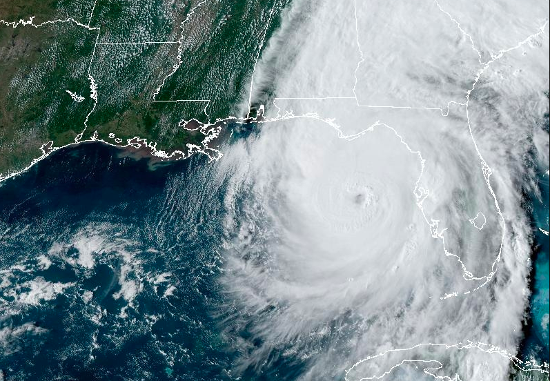
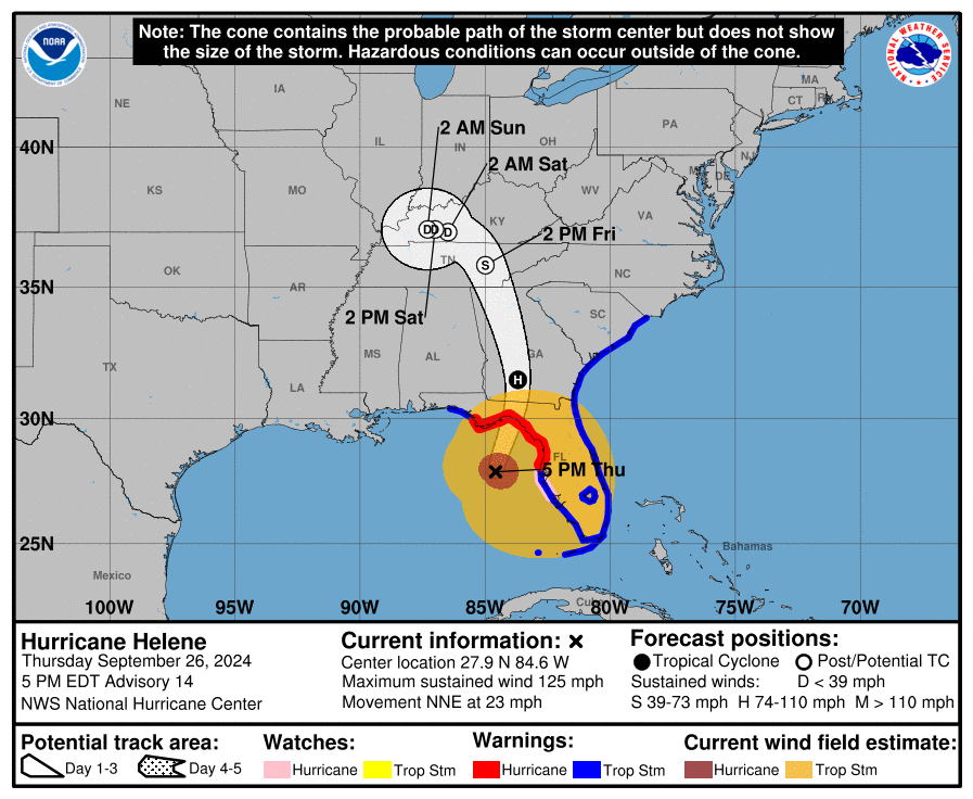
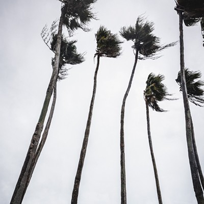
Hurricane Helene is now a Category 3 storm, with sustained 125 mph winds, as it moves north-northeast through the Gulf of Mexico roughly 130 miles west of Tampa Bay, says the National Hurricane Center.
According to the NHC's 5 p.m. advisory, Helene is now moving quickly at 23 mph and is considered a "very dangerous and large hurricane" that will likely reach Category 4 status before making landfall in landfall in the Big Bend region of Florida this evening.
"Hurricane-force winds extend outward up to 60 miles from the center and tropical-storm-force winds extend outward up to 310 miles," says the NHC.
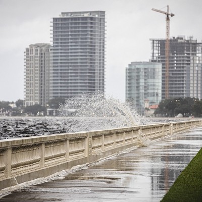
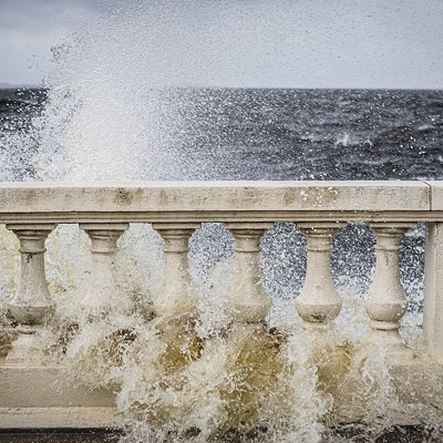
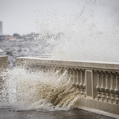
There's currently a hurricane warning from Anclote River to Mexico Beach, where experts are expecting up to 20 feet of storm surge. Tampa Bay is now under a hurricane watch, which means hurricane conditions are possible in the area. The region is also under tropical storm warning, which means tropical storm conditions are expected. Tampa Bay is also under a storm surge warning, with forecasters calling for up to eight feet of surge, and up to 12 feet in Pasco County.
"Helene is expected to produce total rain accumulations of 6 to 12 inches, with isolated totals around 20 inches. This rainfall will likely result in catastrophic and potentially life-threatening flash and urban flooding, along with significant river flooding," says forecasters.
Subscribe to Creative Loafing newsletters.
Follow us: Google News | NewsBreak | Reddit | Instagram | Facebook | Twitter
Hurricane Helene now a 'very dangerous' Category 3 storm as it barrels towards Florida
Helene is now moving quickly at 23 mph and is considered a "very dangerous and large hurricane" that will likely reach Category 4 status.


© 2024 Creative Loafing Tampa Bay
